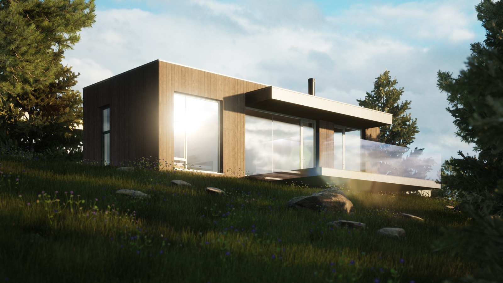
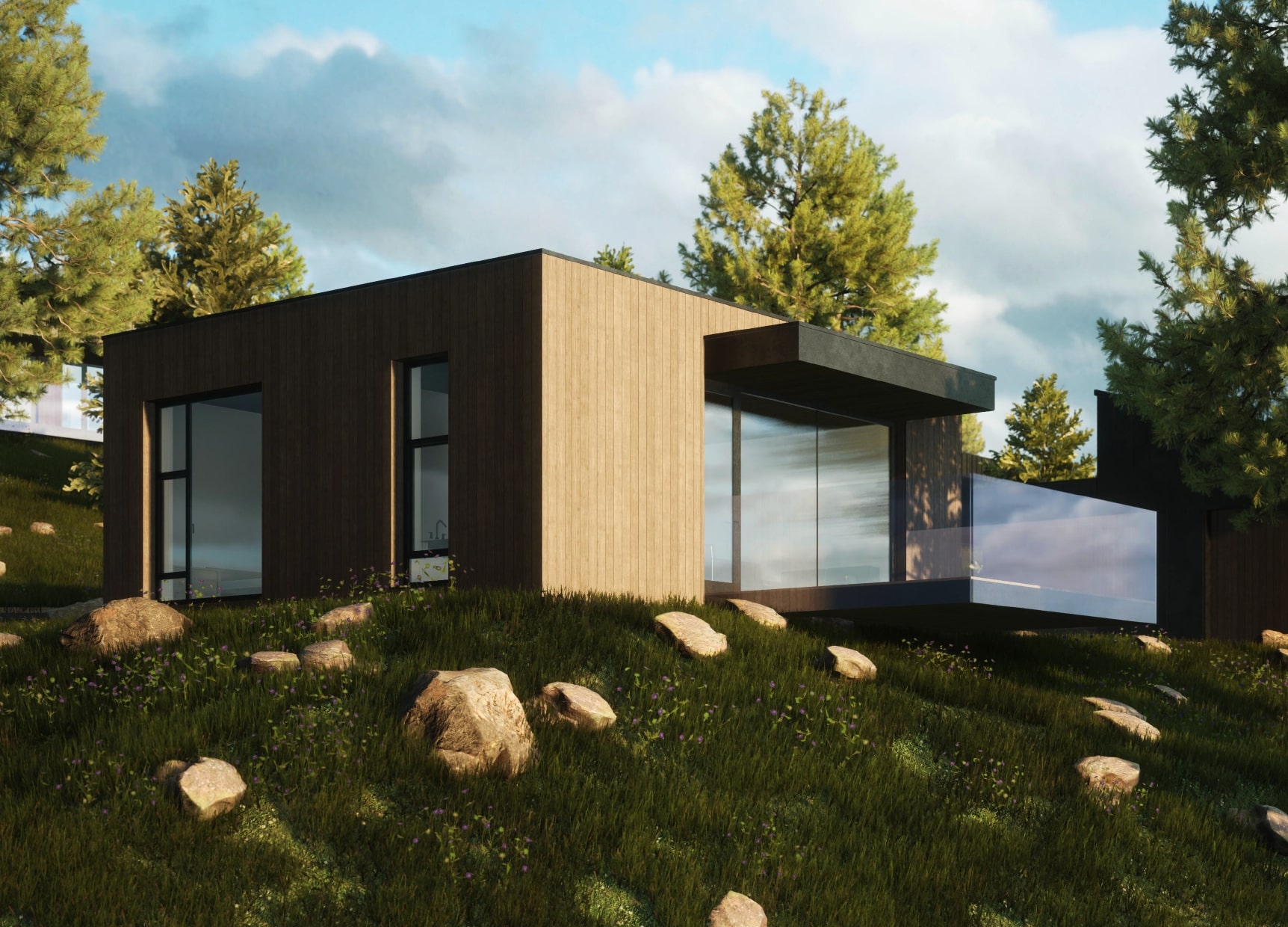
Exterior rendering services for Seattle, Bellevue and Kirkland projects
DeZZign produces photorealistic exterior renderings: still images of a building and its site, made from the architectural drawings before anything is built. They do four different jobs. An owner uses them to settle massing, cladding and color. A design review board or a permit reviewer uses them to understand how the building meets the street. A developer's sales team uses them to sell homes or units that do not exist yet, and a marketing team needs them for brochures, listings and site banners. We render custom homes, additions and ADUs, commercial and mixed-use buildings, from eye level and from above, by day, at dusk and in other seasons.
The images can be ordered on their own from your existing drawings, or as part of an architecture project with us. The building model is built in ArchiCAD or Revit, and the images are produced in 3ds Max with Corona Renderer or V-Ray, or in Blender. Our exterior cases are in Ukraine: Copper Hall, an office building on Lermontovska Street in Kharkiv (660 m², 2022), Mansion for the Leader in a pine forest in the Kharkiv region (465 m², 2022), House for Cosmopolitan near the Saltiv reservoir (300 m², construction completed in 2021) and a trichology clinic in Kharkiv (150 m², 2020). They show the method. The US rules below come from the agencies' own documents.
What an exterior rendering reveals before construction
An elevation drawing shows one facade at a time, flat and at true scale. Nobody sees a building that way. A perspective from the sidewalk shows two facades meeting at a corner, the roof foreshortened and the house standing next to its neighbors, and that is where design problems surface:
- Massing: an upper floor that looks balanced on the elevation can loom over the entry when seen from below, and a garage door that is one element of the drawing can fill half of the street view.
- Proportions: window heads that line up on paper start to step once the ground falls along the facade, and a thin parapet disappears from the street.
- Materials: a joint pattern turns into stripes at a distance, and dark cladding becomes a flat mass under a grey sky.
- Services: meters, vents, downspouts, condenser units and the electric panel are small symbols on a plan and very visible on an image.
Copper Hall is a good test of this. The second floor cantilevers over a tall, fully glazed ground floor, an effect meant to make the building look as if it floats, and only a view from the street can tell whether it works. In the renderings the KME copper facade is shown as it will look a few years from now, once the copper has oxidized and taken on an aged patina; the bright facade of opening day does not appear in those images at all. Thermally modified wood raises the same question: unless it is coated, it weathers to silver-grey in the sun. For a wood-clad volume such as the living room block of House for Cosmopolitan, we ask before the draft whether the image should show the wood new or weathered.
Large glazing changes the rendering itself. In Mansion for the Leader the glazing equals a quarter of all facades, and in Ascetic House it is almost 30%. By day such glass mirrors the sky and the pines; at dusk it turns transparent and the rooms behind it become the facade. The first few meters of every room behind the big windows therefore have to be modeled with furniture and light, or the evening image shows empty boxes.
What we need from your architect and your surveyor
A rendering is only as accurate as its inputs. For a standalone order we ask for:
- floor plans, elevations, sections, the roof plan and the site plan in their latest revision, as DWG and PDF or as the ArchiCAD or Revit model;
- the window and door schedule with frame colors, and the finish schedule with product names and colors for cladding, roofing, trim and paving;
- a topographic survey with spot elevations, property lines, existing trees, retaining walls and driveways;
- the footprints and heights of the neighboring buildings, from the survey or from records;
- site photos, each with the place you stood, the date and the time;
- the exterior lighting plan and the landscape plan, if they exist.
When an item is missing, we model to a stated assumption and list it on the draft, so nobody mistakes a guess for a design decision. A Seattle project in design review needs much of this data anyway: the early design guidance checklist asks for the site topography, spot elevations at property corners, the footprints of adjacent structures within the first 30 feet with their use and height in stories, and a survey of trees 6 inches or more in diameter measured 4.5 feet above the ground. One survey can feed both the packet and the images.
Placing the building in its real context: terrain, neighbors and views
A context rendering puts the model into real site photography or aerial imagery. The virtual camera is matched to the position and lens of the photograph, the ground is modeled from the survey, and neighboring houses either stay in the photo or are rebuilt as simple volumes at their real heights. The result shows the building on its own lot, among its own neighbors.
Terrain is usually the first surprise. For House for Cosmopolitan the owner's wishes and the existing relief led to a plan on one level; on a sloping lot a one-level house means a foundation that shows on the low side, and a rendering from that side is the place to decide whether it becomes a terrace, a wall of stone or a planted bank. Retaining walls, stairs and the slope of the driveway appear in the same view.
We keep context renderings honest. Cameras sit at standing eye height, about 5 feet 3 inches (1.6 m) above the ground, vertical lines stay vertical as with an architectural photographer's shift lens, and the lens is not widened to make a narrow lot look generous. Neighbors are not deleted. A view from the building matters as much as a view of it: Mansion for the Leader has a terrace with a barbecue area facing the pine forest and the pond, and a rendering from that terrace, with the real trees in place, tells the owner what the evening will look like before the terrace is built.
Sun angle, season and Pacific Northwest weather
The sun in a rendering is set from the site's coordinates, the date and the hour. At Seattle's latitude, about 47.6° north, the noon sun stands roughly 66° above the horizon on June 21 and only about 19° on December 21. In late December a two-story house 23 feet tall therefore casts a noon shadow of about 67 feet; in late June the same shadow is about 10 feet. A June image says little about winter light in the back yard of a lot that faces north, so we render the months that matter to you.
For much of the year the Seattle sky is overcast, and diffuse light flattens texture. One view under an even grey sky shows how the neighbors will see the cladding on most days, and it is often the image that changes a color choice. Wet paving and roofs darken and start to reflect, which a dusk view in rain makes plain. Deciduous trees drop their leaves in late autumn, so the screen you counted on between your windows and the next house may be gone for months, while conifers keep theirs.
Seasonal variants take far less work than the first image. Once the camera and the model are set, only the sun, the sky and the vegetation change.
Dusk, night and landscape views
The dusk view is the image sales teams ask for first: the sky still blue, the interior lights on, the house glowing from inside. It is also demanding, because it exposes every room behind the glass. A night view does a different job. It checks the exterior lighting design: which fixtures light the path and the steps, where light grazes the facade, and whether anything glares into a neighbor's window. Ascetic House has a large amount of hidden LED lighting across the grounds, with automatic control of brightness and warmth, so the family can stay outside after dark. A night rendering is the place to test a scheme like that before the cables go into the ground.
Landscape needs one decision before the first draft: which year the image shows. Trees and shrubs arrive from the nursery at a fraction of their mature size, and a rendering with full-grown planting on handover day promises something the garden will deliver only years later. We agree the year with you and keep it consistent across all views. Planting plans, grading and irrigation belong to landscape design; the rendering shows the result.
Aerial and bird's-eye views: when they help and when they mislead
A view from above explains things an eye-level view cannot: how a house sits among trees, how several buildings share a site, what is on the roof. For our cottage settlement in the Carpathian Mountains (10,000 m², designed in 2023, built in 2024), houses of one to three bedrooms share a common composition with an administrative building, a restaurant complex and a sports complex, and a plan like that reads properly only from the air. Roofs matter too. The roof lantern of House for Cosmopolitan, solar panels or a rooftop condenser all show from above.
Aerial views also flatter. Nobody experiences a building from a few hundred feet up, and a bird's-eye image hides how tall a facade feels from the sidewalk. Seattle's design review checklist says so directly: massing options should be set in context rather than standing alone, with pedestrian perspectives rather than aerial or bird's-eye views.
A drone photograph for a context rendering is a commercial flight. The FAA requires anyone who flies for commercial or other non-recreational purposes to become a certificated remote pilot under Part 107 and to register drones under 55 pounds, so ask the photographer for the certificate. Where a flight is not possible, existing aerial imagery plus the survey gives a usable base at a lower resolution.
Renderings for Seattle design review and permit packages
Projects that go through Seattle's design review start with an early design guidance packet, and SDCI's checklist (updated September 2021) sets what goes into it. It asks for three viable alternative massing concepts, one of them a code-complying scheme with no departures, shown with comparable graphics. It asks for one or more color renderings adequate to depict the overall massing and the design concept, with street-level perspectives preferred and with retaining walls, stairs and ramps where they explain how the building meets its site. It also asks for a basic sun and shadow analysis on March and September 21, June 21 and December 21, at 9 am, noon and 3 pm, with the shadow of the proposal set apart from existing ones.
The same checklist states that the packet is not a marketing or branding brochure. Images for a board are therefore different from sales images: restrained materials, the same camera positions for every option, honest context and no flattering lens. Our note on 3D visualization of a design project makes the same point about review boards: massing and materials have to be presented clearly. We build one model and render it both ways.
A rendering supports a permit application; it never replaces the drawings the reviewer checks. Our architects develop the documentation to local codes; drawings that require a local license are signed by licensed professionals we work with. Other cities run their own processes: Bellevue, for example, handles design review in its design districts as a land use permit, followed by a separate building permit. For Bellevue, Kirkland or any other address, we check what the city asks for before the first camera is placed.
Presales and marketing images for developers and sales teams
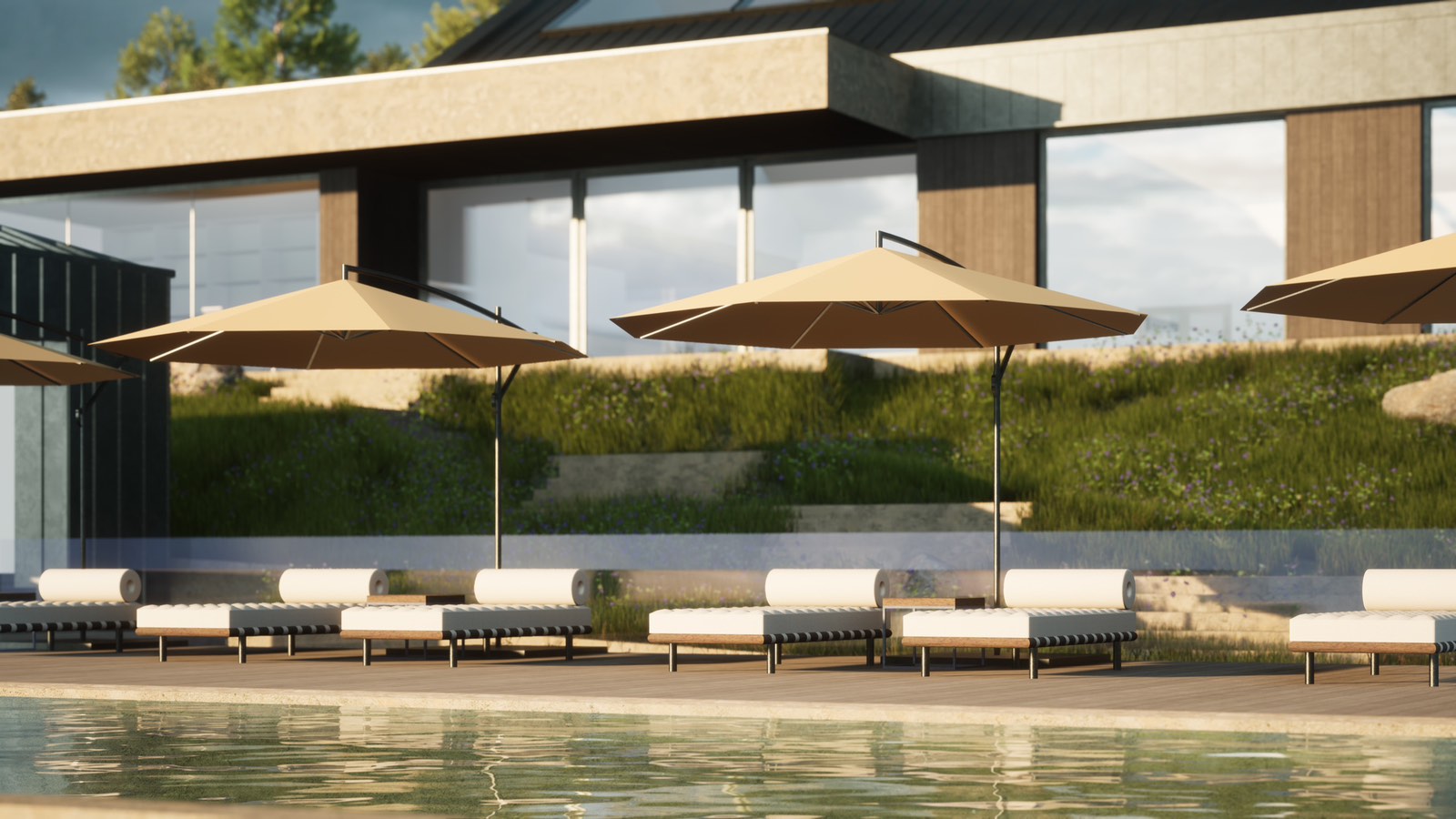
A developer selling before completion usually needs a set of images: a main street view, a dusk view, an aerial view of the site for a multi-unit project, a view from a typical unit or balcony, the amenity spaces such as the pool or the roof terrace, and a sheet comparing finish options for buyers. Final files come at 4000 px or more on the long side, in JPG, PNG or TIFF, with layered PSD files for marketing teams who add text and graphics themselves. Tell us the largest print before final production: 4000 px printed at 300 dpi is about 13 inches (34 cm) wide, which suits a brochure, while a hoarding banner on the street is viewed from far enough away to need far fewer dots per inch.
Sales images create expectations. A balcony that was later cut from the drawings, or a tree on the neighbor's lot that will be removed, turns into a complaint at handover. Keep a log of which drawing revision each image shows, and update the images when the design changes. Generated pictures are no substitute: as our article notes, an AI image knows nothing about real dimensions, materials or construction details, so the building in it cannot be built. A marketing image should come from the model of the building that will actually stand on the lot.
Moving images are a separate service. Animated fly-throughs, Unreal Engine walkthroughs, 360° panoramas and investor presentations are covered by architectural visualization, and rooms are covered by interior renderings.
Exterior rendering cost and turnaround: what moves them
A single photorealistic exterior rendering starts from $400 to $600, depending on complexity and context requirements, with package pricing for multiple views. A single rendering typically takes 5 to 10 business days, complex context renderings with several views may take 2 to 3 weeks, and rush delivery is available. We give a timeline at the start of each project. The overall cost, timeline and supervision for this page are discussed individually, because they depend on these factors:
- whether a usable 3D model exists or has to be built from drawings;
- how much context is needed, from an empty lot to a dense street with every neighbor modeled;
- how dense the landscape is and which season it shows;
- how many views and variants you need, since day, dusk and seasonal versions of one camera take less work than new cameras;
- design changes that arrive after the final images, which reopen the model rather than the image.
The work runs in four steps: the brief and documents, a draft for your review, final production with refined lighting, shadows, reflections and context, and delivery. The draft is the cheap moment for changes. Camera angle, time of day, landscaping and material colors can all move then.
When exterior renderings fit and when another service fits better
This service fits when the design exists, in our drawings or in your architect's, and you need images to decide, to present to a board or to sell. If the building itself is still to be designed, start with architecture. If the renderings show that the facade is the problem, facade design reworks cladding, glazing and details with construction drawings. For a house that is growing, home additions covers the design of the new part, and a rendering then shows how it meets the old one. Gardens, terraces and pools that still need a design of their own belong to landscape design, and moving images to architectural visualization.